

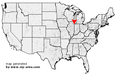
Dyer
| Category: | City |
| State: | Indiana |
| County: | Lake |
| Area code: | 219 |
| FIPS code: | 18089 |
| Time zone: | CST |
| ZIP code: | 46311 |
|
calculate distance to another city

|
|
 Using the left mouse click, select the desired location on the map and you will receive a list of cities in the surrounding area. (Embed this map on your website.) |
Add the following HTML-code to your website: <a href="http://www.zip-area.com/indiana/dyer/" target="_blank"><img src="http://www.zip-area.com/indiana/images/map_dyer.png" alt="Dyer"></a> |
Cities close to Dyer |
|
| Steger (6.83 mi) | Glenwood (7.51 mi) |
| Thornton (8.81 mi) | South Holland (10.40 mi) |
| Beecher (9.55 mi) | Crete (5.01 mi) |
| Chicago Heights (5.18 mi) | Lansing (7.49 mi) |
| Dyer (0.00 mi) | Munster (5.86 mi) |
| Hammond (9.93 mi) | Cedar Lake (6.39 mi) |
| Saint John (2.05 mi) | Schererville (3.07 mi) |
| Highland (6.45 mi) | Griffith (5.89 mi) |