

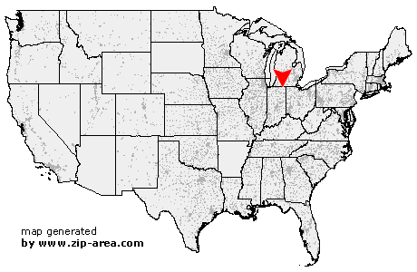
Wolcottville
| Category: | City |
| State: | Indiana |
| County: | Lagrange |
| Area code: | 260 |
| FIPS code: | 18087 |
| Time zone: | EST |
| ZIP code: | 46795 |
|
calculate distance to another city

|
|
 Using the left mouse click, select the desired location on the map and you will receive a list of cities in the surrounding area. (Embed this map on your website.) |
Add the following HTML-code to your website: <a href="http://www.zip-area.com/indiana/wolcottville/" target="_blank"><img src="http://www.zip-area.com/indiana/images/map_wolcottville.png" alt="Wolcottville"></a> |
Cities close to Wolcottville |
|
| Lagrange (6.75 mi) | Rome City (6.91 mi) |
| Wolcottville (0.00 mi) | Mongo (8.24 mi) |
| South Milford (3.20 mi) | Kendallville (8.00 mi) |
| Stroh (5.91 mi) | |