

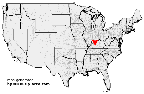
Brownsville
| Category: | City |
| State: | Kentucky |
| County: | Edmonson |
| Area code: | 270 |
| FIPS code: | 21061 |
| Time zone: | CST |
| ZIP code: | 42210 |
|
calculate distance to another city

|
|
 Using the left mouse click, select the desired location on the map and you will receive a list of cities in the surrounding area. (Embed this map on your website.) |
Add the following HTML-code to your website: <a href="http://www.zip-area.com/kentucky/brownsville/" target="_blank"><img src="http://www.zip-area.com/kentucky/images/map_brownsville.png" alt="Brownsville"></a> |
Cities close to Brownsville |
|
| Jetson (6.06 mi) | Roundhill (5.08 mi) |
| Bowling Green (10.20 mi) | Brownsville (0.00 mi) |
| Sweeden (2.65 mi) | Bee Spring (5.60 mi) |