

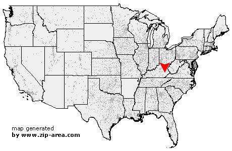
Chavies
| Category: | City |
| State: | Kentucky |
| County: | Perry |
| Area code: | 606 |
| FIPS code: | 21193 |
| Time zone: | EST |
| ZIP code: | 41727 |
|
calculate distance to another city

|
|
 Using the left mouse click, select the desired location on the map and you will receive a list of cities in the surrounding area. (Embed this map on your website.) |
Add the following HTML-code to your website: <a href="http://www.zip-area.com/kentucky/chavies/" target="_blank"><img src="http://www.zip-area.com/kentucky/images/map_chavies.png" alt="Chavies"></a> |
Cities close to Chavies |
|
| Gays Creek (6.86 mi) | Confluence (6.50 mi) |
| Whick (4.38 mi) | Lost Creek (8.74 mi) |
| Chavies (0.00 mi) | Krypton (2.76 mi) |
| Yerkes (5.84 mi) | Busy (7.46 mi) |
| Avawam (9.72 mi) | Clayhole (8.29 mi) |
| Bonnyman (6.62 mi) | Rowdy (6.22 mi) |
| Dice (6.73 mi) | Hazard (10.57 mi) |
| Combs (8.26 mi) | |