

Independence
| Category: | City |
| State: | Kentucky |
| County: | Kenton |
| Area code: | 859 |
| FIPS code: | 21117 |
| Time zone: | EST |
| ZIP code: | 41051 |
|
calculate distance to another city

|
|
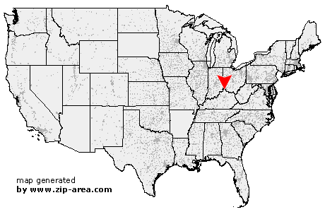 Using the left mouse click, select the desired location on the map and you will receive a list of cities in the surrounding area. (Embed this map on your website.) |
Add the following HTML-code to your website: <a href="http://www.zip-area.com/kentucky/independence/" target="_blank"><img src="http://www.zip-area.com/kentucky/images/map_independence.png" alt="Independence"></a> |
Cities close to Independence |
|
| Cincinnati (10.86 mi) | Florence (6.80 mi) |
| Walton (5.40 mi) | Erlanger (7.14 mi) |
| Fort Mitchell (6.99 mi) | Independence (0.00 mi) |
| Covington (9.49 mi) | Morning View (6.56 mi) |
| Latonia (4.65 mi) | Newport (10.40 mi) |
| Kenton (6.05 mi) | De Mossville (10.73 mi) |
| Silver Grove (10.74 mi) | |