

Stanville
| Category: | City |
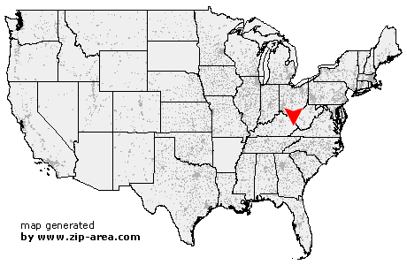
| State: | Kentucky |
| County: | Floyd |
| Area code: | 606 |
| FIPS code: | 21071 |
| Time zone: | EST |
| ZIP code: | 41659 |
|
calculate distance to another city

|
|
 Using the left mouse click, select the desired location on the map and you will receive a list of cities in the surrounding area. (Embed this map on your website.) |
Add the following HTML-code to your website: <a href="http://www.zip-area.com/kentucky/stanville/" target="_blank"><img src="http://www.zip-area.com/kentucky/images/map_stanville.png" alt="Stanville"></a> |
Cities close to Stanville |
|
| Wayland (12.17 mi) | Langley (7.87 mi) |
| Lackey (10.53 mi) | Martin (5.45 mi) |
| Minnie (8.24 mi) | Drift (7.77 mi) |
| Mc Dowell (10.86 mi) | Grethel (8.88 mi) |
| Dwale (4.79 mi) | Printer (4.96 mi) |
| Banner (1.76 mi) | Betsy Layne (2.71 mi) |
| Van Lear (9.15 mi) | Dana (1.63 mi) |
| Stanville (0.00 mi) | Harold (6.11 mi) |
| Tram (1.02 mi) | Allen (1.73 mi) |
| Ivel (1.39 mi) | |