

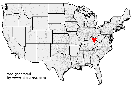
Warbranch
| Category: | City |
| State: | Kentucky |
| County: | Leslie |
| Area code: | 606 |
| FIPS code: | 21131 |
| Time zone: | EST |
| ZIP code: | 40874 |
|
calculate distance to another city

|
|
 Using the left mouse click, select the desired location on the map and you will receive a list of cities in the surrounding area. (Embed this map on your website.) |
Add the following HTML-code to your website: <a href="http://www.zip-area.com/kentucky/warbranch/" target="_blank"><img src="http://www.zip-area.com/kentucky/images/map_warbranch.png" alt="Warbranch"></a> |
Cities close to Warbranch |
|
| Kettle Island (12.14 mi) | Beverly (6.43 mi) |
| Stoney Fork (6.55 mi) | Roark (5.86 mi) |
| Essie (7.07 mi) | Warbranch (0.00 mi) |
| Coldiron (5.99 mi) | Asher (6.34 mi) |
| Helton (3.20 mi) | Hoskinston (8.69 mi) |
| Mozelle (3.89 mi) | Dayhoit (8.38 mi) |
| Stinnett (9.91 mi) | Chappell (6.46 mi) |
| Loyall (9.35 mi) | Bledsoe (6.93 mi) |
| Baxter (9.08 mi) | |