

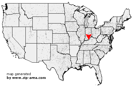
West Point
| Category: | City |
| State: | Kentucky |
| County: | Hardin |
| Area code: | 502 |
| FIPS code: | 21093 |
| Time zone: | EST |
| ZIP code: | 40177 |
|
calculate distance to another city

|
|
 Using the left mouse click, select the desired location on the map and you will receive a list of cities in the surrounding area. (Embed this map on your website.) |
Add the following HTML-code to your website: <a href="http://www.zip-area.com/kentucky/west_point/" target="_blank"><img src="http://www.zip-area.com/kentucky/images/map_west_point.png" alt="West Point"></a> |
Cities close to West Point |
|
| Laconia (8.56 mi) | Vine Grove (10.94 mi) |
| Muldraugh (2.93 mi) | Elizabeth (9.76 mi) |
| Radcliff (8.49 mi) | West Point (0.00 mi) |
| Fort Knox (6.45 mi) | Brooks (9.14 mi) |