

Montague
| Category: | City |
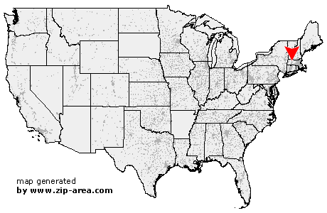
| State: | Massachusetts |
| County: | Franklin |
| Area code: | 413 |
| FIPS code: | 25011 |
| Time zone: | EST |
| ZIP code: | 01351 |
|
calculate distance to another city

|
|
 Using the left mouse click, select the desired location on the map and you will receive a list of cities in the surrounding area. (Embed this map on your website.) |
Add the following HTML-code to your website: <a href="http://www.zip-area.com/massachusetts/montague/" target="_blank"><img src="http://www.zip-area.com/massachusetts/images/map_montague.png" alt="Montague"></a> |
Cities close to Montague |
|
| Whately (9.07 mi) | North Hatfield (10.40 mi) |
| South Deerfield (6.91 mi) | Deerfield (4.49 mi) |
| Greenfield (7.64 mi) | Sunderland (5.42 mi) |
| Montague (0.00 mi) | Lake Pleasant (1.22 mi) |
| Turners Falls (6.73 mi) | Millers Falls (2.82 mi) |
| Gill (9.77 mi) | Leverett (4.54 mi) |
| Northfield (9.86 mi) | Shutesbury (6.75 mi) |
| Erving (7.32 mi) | Wendell (6.03 mi) |