

Flanders
| Category: | City |
| State: | New Jersey |
| County: | Morris |
| Area code: | 973 |
| FIPS code: | 34027 |
| Time zone: | EST |
| ZIP code: | 07836 |
|
calculate distance to another city

|
|
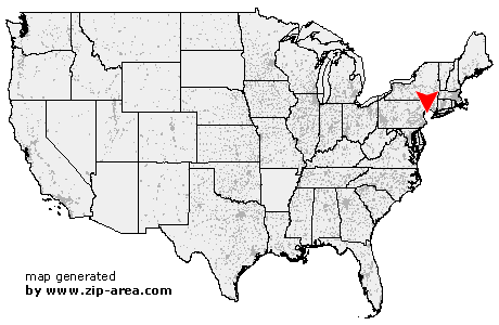 Using the left mouse click, select the desired location on the map and you will receive a list of cities in the surrounding area. (Embed this map on your website.) |
Add the following HTML-code to your website: <a href="http://www.zip-area.com/new_jersey/flanders/" target="_blank"><img src="http://www.zip-area.com/new_jersey/images/map_flanders.png" alt="Flanders"></a> |
Cities close to Flanders |
|
| Hackettstown (6.76 mi) | Greendell (10.61 mi) |
| Schooleys Mountain (6.32 mi) | Allamuchy (7.46 mi) |
| Tranquility (9.24 mi) | Andover (8.50 mi) |
| Califon (10.05 mi) | Long Valley (5.96 mi) |
| Budd Lake (3.38 mi) | Pottersville (9.36 mi) |
| Flanders (0.00 mi) | Stanhope (5.65 mi) |
| Netcong (3.59 mi) | Chester (4.81 mi) |
| Hopatcong (7.17 mi) | Ledgewood (3.03 mi) |
| Gladstone (9.19 mi) | Landing (4.75 mi) |
| Peapack (9.32 mi) | Succasunna (2.94 mi) |
| Mount Arlington (7.03 mi) | Far Hills (10.64 mi) |
| Ironia (4.64 mi) | Kenvil (5.36 mi) |
| Lake Hopatcong (9.73 mi) | Glasser (11.02 mi) |
| Mine Hill (6.12 mi) | Mendham (7.41 mi) |
| Bernardsville (10.25 mi) | Wharton (9.22 mi) |
| Picatinny Arsenal (7.31 mi) | Randolph (7.17 mi) |
| Mount Freedom (7.39 mi) | Brookside (8.18 mi) |