

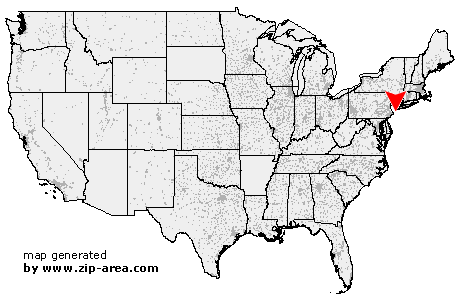
Hightstown
| Category: | City |
| State: | New Jersey |
| County: | Mercer |
| Area code: | 609 |
| FIPS code: | 34021 |
| Time zone: | EST |
| ZIP code: | 08520 |
|
calculate distance to another city

|
|
 Using the left mouse click, select the desired location on the map and you will receive a list of cities in the surrounding area. (Embed this map on your website.) |
Add the following HTML-code to your website: <a href="http://www.zip-area.com/new_jersey/hightstown/" target="_blank"><img src="http://www.zip-area.com/new_jersey/images/map_hightstown.png" alt="Hightstown"></a> |
Cities close to Hightstown |
|
| Princeton (10.95 mi) | Kingston (10.13 mi) |
| Princeton Junction (6.03 mi) | Windsor (4.09 mi) |
| Plainsboro (6.78 mi) | Allentown (8.21 mi) |
| Monmouth Junction (9.70 mi) | Cranbury (4.25 mi) |
| Imlaystown (5.91 mi) | Hightstown (0.00 mi) |
| Cream Ridge (7.75 mi) | Dayton (8.84 mi) |
| Roosevelt (3.10 mi) | Perrineville (4.90 mi) |
| Clarksburg (6.50 mi) | Monroe Township (7.97 mi) |
| Helmetta (9.84 mi) | Spotswood (10.83 mi) |
| Englishtown (7.75 mi) | |