

Ridgewood
| Category: | City |
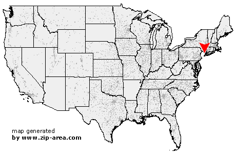
| State: | New Jersey |
| County: | Bergen |
| Area code: | 201 |
| FIPS code: | 34003 |
| Time zone: | EST |
| ZIP codes: | 07450, 07451 |
|
calculate distance to another city

|
|
 Using the left mouse click, select the desired location on the map and you will receive a list of cities in the surrounding area. (Embed this map on your website.) |
Add the following HTML-code to your website: <a href="http://www.zip-area.com/new_jersey/ridgewood/" target="_blank"><img src="http://www.zip-area.com/new_jersey/images/map_ridgewood.png" alt="Ridgewood"></a> |
Cities close to Ridgewood |
|
| Wayne (7.29 mi) | Oakland (7.52 mi) |
| Cedar Grove (10.59 mi) | Totowa (7.82 mi) |
| Franklin Lakes (5.32 mi) | Little Falls (8.37 mi) |
| Mahwah (7.89 mi) | Haledon (4.22 mi) |
| Paterson (5.69 mi) | Hillburn (10.45 mi) |
| Wyckoff (3.09 mi) | Hawthorne (2.91 mi) |
| Ramsey (5.62 mi) | Clifton (7.24 mi) |
| Midland Park (1.74 mi) | Allendale (3.69 mi) |
| Passaic (8.64 mi) | Waldwick (2.26 mi) |
| Glen Rock (1.64 mi) | Elmwood Park (5.34 mi) |
| Fair Lawn (3.20 mi) | Ridgewood (0.00 mi) |
| Garfield (7.13 mi) | Wallington (8.89 mi) |
| Tallman (8.94 mi) | Ho Ho Kus (1.47 mi) |
| Saddle River (4.49 mi) | Saddle Brook (5.50 mi) |
| Wood Ridge (9.34 mi) | Lodi (7.33 mi) |
| Rochelle Park (5.47 mi) | Monsey (9.11 mi) |
| Hasbrouck Heights (8.58 mi) | Paramus (3.32 mi) |
| Maywood (6.07 mi) | Teterboro (8.85 mi) |
| Woodcliff Lake (3.94 mi) | Moonachie (9.99 mi) |
| South Hackensack (8.72 mi) | Montvale (5.89 mi) |
| Spring Valley (10.07 mi) | Hackensack (7.27 mi) |
| Hillsdale (3.98 mi) | Park Ridge (5.19 mi) |
| Little Ferry (10.08 mi) | River Edge (5.42 mi) |
| Oradell (4.56 mi) | Westwood (4.51 mi) |
| Bogota (8.58 mi) | Emerson (4.50 mi) |
| Township of Washington (5.08 mi) | Ridgefield Park (10.02 mi) |
| New Milford (5.88 mi) | Pearl River (7.53 mi) |
| Teaneck (8.28 mi) | Nanuet (9.67 mi) |
| Bergenfield (7.21 mi) | Palisades Park (11.15 mi) |
| Haworth (6.30 mi) | Dumont (6.77 mi) |
| Leonia (10.40 mi) | Harrington Park (7.04 mi) |
| Englewood (9.56 mi) | Fort Lee (11.64 mi) |
| West Nyack (10.75 mi) | |