

Alliance
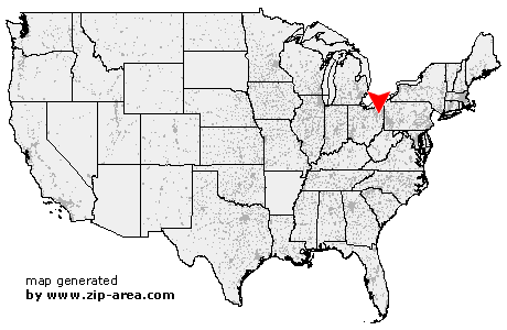
| Category: | City |
| State: | Ohio |
| County: | Stark |
| Area code: | 330 |
| FIPS code: | 39151 |
| Time zone: | EST |
| ZIP code: | 44601 |
|
calculate distance to another city

|
|
 Using the left mouse click, select the desired location on the map and you will receive a list of cities in the surrounding area. (Embed this map on your website.) |
Add the following HTML-code to your website: <a href="http://www.zip-area.com/ohio/alliance/" target="_blank"><img src="http://www.zip-area.com/ohio/images/map_alliance.png" alt="Alliance"></a> |
Cities close to Alliance |
|
| Randolph (10.15 mi) | Louisville (6.86 mi) |
| Atwater (8.10 mi) | Maximo (3.72 mi) |
| Paris (8.50 mi) | Limaville (4.70 mi) |
| Alliance (0.00 mi) | Deerfield (9.11 mi) |
| Homeworth (7.13 mi) | North Benton (6.52 mi) |
| Sebring (5.26 mi) | Beloit (7.35 mi) |