

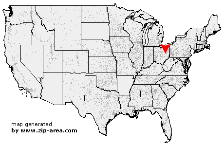
Bakersville
| Category: | City |
| State: | Ohio |
| County: | Coshocton |
| Area code: | 330 |
| FIPS code: | 39031 |
| Time zone: | EST |
| ZIP code: | 43803 |
|
calculate distance to another city

|
|
 Using the left mouse click, select the desired location on the map and you will receive a list of cities in the surrounding area. (Embed this map on your website.) |
Add the following HTML-code to your website: <a href="http://www.zip-area.com/ohio/bakersville/" target="_blank"><img src="http://www.zip-area.com/ohio/images/map_bakersville.png" alt="Bakersville"></a> |
Cities close to Bakersville |
|
| Fresno (6.31 mi) | West Lafayette (7.94 mi) |
| Plainfield (10.66 mi) | Baltic (6.93 mi) |
| Bakersville (0.00 mi) | Stone Creek (4.25 mi) |
| Newcomerstown (9.75 mi) | Port Washington (6.26 mi) |