

Bloomdale
| Category: | City |
| State: | Ohio |
| County: | Wood |
| Area code: | 419 |
| FIPS code: | 39173 |
| Time zone: | EST |
| ZIP code: | 44817 |
|
calculate distance to another city

|
|
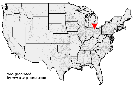 Using the left mouse click, select the desired location on the map and you will receive a list of cities in the surrounding area. (Embed this map on your website.) |
Add the following HTML-code to your website: <a href="http://www.zip-area.com/ohio/bloomdale/" target="_blank"><img src="http://www.zip-area.com/ohio/images/map_bloomdale.png" alt="Bloomdale"></a> |
Cities close to Bloomdale |
|
| North Baltimore (7.36 mi) | Cygnet (6.59 mi) |
| Van Buren (6.07 mi) | Portage (8.42 mi) |
| Jerry City (4.39 mi) | Bloomdale (0.00 mi) |
| Arcadia (6.43 mi) | Wayne (6.44 mi) |
| West Millgrove (4.07 mi) | Bradner (10.81 mi) |
| Risingsun (7.64 mi) | |