

Brownsville
| Category: | City |
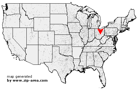
| State: | Ohio |
| County: | Licking |
| Area code: | 740 |
| FIPS code: | 39089 |
| Time zone: | EST |
| ZIP code: | 43721 |
|
calculate distance to another city

|
|
 Using the left mouse click, select the desired location on the map and you will receive a list of cities in the surrounding area. (Embed this map on your website.) |
Add the following HTML-code to your website: <a href="http://www.zip-area.com/ohio/brownsville/" target="_blank"><img src="http://www.zip-area.com/ohio/images/map_brownsville.png" alt="Brownsville"></a> |
Cities close to Brownsville |
|
| Thornville (8.20 mi) | Heath (6.02 mi) |
| Glenford (4.15 mi) | Somerset (10.05 mi) |
| Brownsville (0.00 mi) | Gratiot (2.15 mi) |
| Mount Perry (5.42 mi) | Hopewell (4.57 mi) |
| Fultonham (8.72 mi) | Nashport (9.94 mi) |
| East Fultonham (9.36 mi) | |