

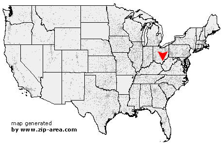
Cheshire
| Category: | City |
| State: | Ohio |
| County: | Gallia |
| Area code: | 740 |
| FIPS code: | 39053 |
| Time zone: | EST |
| ZIP code: | 45620 |
|
calculate distance to another city

|
|
 Using the left mouse click, select the desired location on the map and you will receive a list of cities in the surrounding area. (Embed this map on your website.) |
Add the following HTML-code to your website: <a href="http://www.zip-area.com/ohio/cheshire/" target="_blank"><img src="http://www.zip-area.com/ohio/images/map_cheshire.png" alt="Cheshire"></a> |
Cities close to Cheshire |
|
| Kerr (8.98 mi) | Bidwell (6.15 mi) |
| Langsville (9.17 mi) | Rutland (7.47 mi) |
| Cheshire (0.00 mi) | Middleport (3.52 mi) |
| Point Pleasant (7.32 mi) | West Columbia (4.36 mi) |
| Pomeroy (11.12 mi) | Mason (6.25 mi) |