

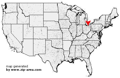
Columbia Station
| Category: | City |
| State: | Ohio |
| County: | Lorain |
| Area code: | 440 |
| FIPS code: | 39093 |
| Time zone: | EST |
| ZIP code: | 44028 |
|
calculate distance to another city

|
|
 Using the left mouse click, select the desired location on the map and you will receive a list of cities in the surrounding area. (Embed this map on your website.) |
Add the following HTML-code to your website: <a href="http://www.zip-area.com/ohio/columbia_station/" target="_blank"><img src="http://www.zip-area.com/ohio/images/map_columbia_station.png" alt="Columbia Station"></a> |
Cities close to Columbia Station |
|
| Grafton (5.08 mi) | Litchfield (10.71 mi) |
| North Ridgeville (6.00 mi) | Avon (10.03 mi) |
| Columbia Station (0.00 mi) | Westlake (10.05 mi) |
| Valley City (5.22 mi) | Olmsted Falls (4.99 mi) |
| North Olmsted (7.69 mi) | Berea (6.73 mi) |
| Brook Park (9.50 mi) | Brunswick (8.43 mi) |