

Farmer
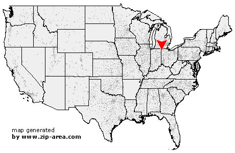
| Category: | City |
| State: | Ohio |
| County: | Defiance |
| Area code: | 419 |
| FIPS code: | 39039 |
| Time zone: | EST |
| ZIP code: | 43520 |
|
calculate distance to another city

|
|
 Using the left mouse click, select the desired location on the map and you will receive a list of cities in the surrounding area. (Embed this map on your website.) |
Add the following HTML-code to your website: <a href="http://www.zip-area.com/ohio/farmer/" target="_blank"><img src="http://www.zip-area.com/ohio/images/map_farmer.png" alt="Farmer"></a> |
Cities close to Farmer |
|
| Blakeslee (11.02 mi) | Edgerton (6.21 mi) |
| Hicksville (6.62 mi) | Mark Center (4.52 mi) |
| Farmer (0.00 mi) | Sherwood (6.29 mi) |
| Bryan (6.85 mi) | Ney (5.41 mi) |