

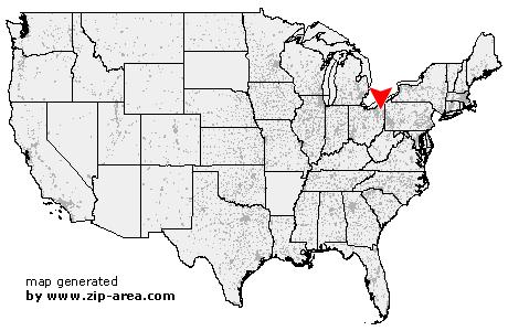
Garrettsville
| Category: | City |
| State: | Ohio |
| County: | Portage |
| Area code: | 330 |
| FIPS code: | 39133 |
| Time zone: | EST |
| ZIP code: | 44231 |
|
calculate distance to another city

|
|
 Using the left mouse click, select the desired location on the map and you will receive a list of cities in the surrounding area. (Embed this map on your website.) |
Add the following HTML-code to your website: <a href="http://www.zip-area.com/ohio/garrettsville/" target="_blank"><img src="http://www.zip-area.com/ohio/images/map_garrettsville.png" alt="Garrettsville"></a> |
Cities close to Garrettsville |
|
| Ravenna (10.48 mi) | Hiram (5.14 mi) |
| Burton (9.91 mi) | Windham (4.78 mi) |
| Garrettsville (0.00 mi) | Parkman (4.52 mi) |
| Newton Falls (10.60 mi) | West Farmington (7.17 mi) |
| Southington (5.78 mi) | |