

Jeromesville
| Category: | City |
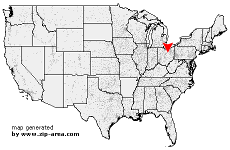
| State: | Ohio |
| County: | Ashland |
| Area code: | 419 |
| FIPS code: | 39005 |
| Time zone: | EST |
| ZIP code: | 44840 |
|
calculate distance to another city

|
|
 Using the left mouse click, select the desired location on the map and you will receive a list of cities in the surrounding area. (Embed this map on your website.) |
Add the following HTML-code to your website: <a href="http://www.zip-area.com/ohio/jeromesville/" target="_blank"><img src="http://www.zip-area.com/ohio/images/map_jeromesville.png" alt="Jeromesville"></a> |
Cities close to Jeromesville |
|
| Ashland (9.25 mi) | Perrysville (11.45 mi) |
| Nankin (10.51 mi) | Hayesville (4.40 mi) |
| Loudonville (9.85 mi) | Polk (8.89 mi) |
| Jeromesville (0.00 mi) | Lakeville (10.16 mi) |
| Shreve (10.34 mi) | |