

Laurelville
| Category: | City |
| State: | Ohio |
| County: | Hocking |
| Area code: | 740 |
| FIPS code: | 39073 |
| Time zone: | EST |
| ZIP code: | 43135 |
|
calculate distance to another city

|
|
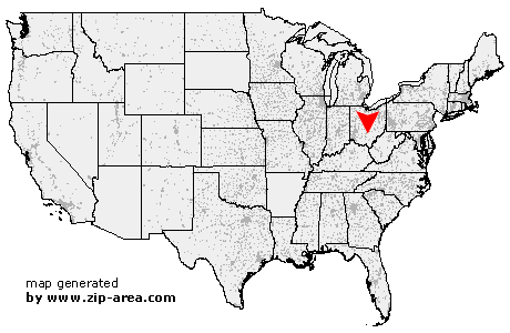 Using the left mouse click, select the desired location on the map and you will receive a list of cities in the surrounding area. (Embed this map on your website.) |
Add the following HTML-code to your website: <a href="http://www.zip-area.com/ohio/laurelville/" target="_blank"><img src="http://www.zip-area.com/ohio/images/map_laurelville.png" alt="Laurelville"></a> |
Cities close to Laurelville |
|
| Kingston (7.80 mi) | Hallsville (7.17 mi) |
| Stoutsville (10.60 mi) | Tarlton (7.01 mi) |
| Adelphi (2.59 mi) | Laurelville (0.00 mi) |
| South Bloomingville (8.15 mi) | Rockbridge (8.00 mi) |