

Marshallville
| Category: | City |
| State: | Ohio |
| County: | Wayne |
| Area code: | 330 |
| FIPS code: | 39169 |
| Time zone: | EST |
| ZIP code: | 44645 |
|
calculate distance to another city

|
|
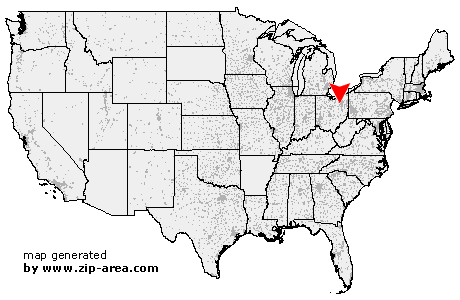 Using the left mouse click, select the desired location on the map and you will receive a list of cities in the surrounding area. (Embed this map on your website.) |
Add the following HTML-code to your website: <a href="http://www.zip-area.com/ohio/marshallville/" target="_blank"><img src="http://www.zip-area.com/ohio/images/map_marshallville.png" alt="Marshallville"></a> |
Cities close to Marshallville |
|
| Sterling (6.75 mi) | Rittman (5.15 mi) |
| Orrville (5.66 mi) | Wadsworth (10.11 mi) |
| Marshallville (0.00 mi) | Doylestown (3.90 mi) |
| Dalton (9.38 mi) | North Lawrence (6.17 mi) |
| Barberton (8.84 mi) | Clinton (6.70 mi) |
| Canal Fulton (6.63 mi) | |