

Munroe Falls
| Category: | City |
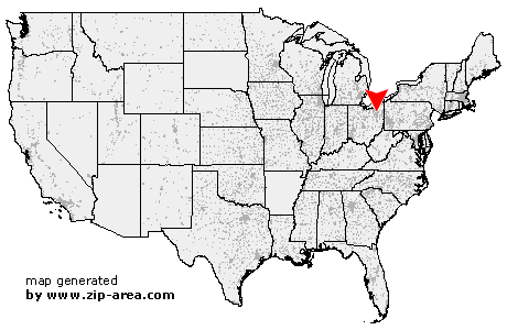
| State: | Ohio |
| County: | Summit |
| Area code: | 330 |
| FIPS code: | 39153 |
| Time zone: | EST |
| ZIP code: | 44262 |
|
calculate distance to another city

|
|
 Using the left mouse click, select the desired location on the map and you will receive a list of cities in the surrounding area. (Embed this map on your website.) |
Add the following HTML-code to your website: <a href="http://www.zip-area.com/ohio/munroe_falls/" target="_blank"><img src="http://www.zip-area.com/ohio/images/map_munroe_falls.png" alt="Munroe Falls"></a> |
Cities close to Munroe Falls |
|
| Peninsula (8.82 mi) | Akron (8.09 mi) |
| Fairlawn (5.90 mi) | Cuyahoga Falls (2.01 mi) |
| Hudson (7.38 mi) | Stow (2.66 mi) |
| Munroe Falls (0.00 mi) | Lakemore (8.19 mi) |
| Tallmadge (2.78 mi) | Kent (4.87 mi) |
| Streetsboro (8.63 mi) | Mogadore (8.65 mi) |
| Brady Lake (6.38 mi) | |