

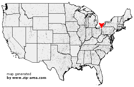
Orangeville
| Category: | City |
| State: | Ohio |
| County: | Trumbull |
| Area code: | 330 |
| FIPS code: | 39155 |
| Time zone: | EST |
| ZIP code: | 44453 |
|
calculate distance to another city

|
|
 Using the left mouse click, select the desired location on the map and you will receive a list of cities in the surrounding area. (Embed this map on your website.) |
Add the following HTML-code to your website: <a href="http://www.zip-area.com/ohio/orangeville/" target="_blank"><img src="http://www.zip-area.com/ohio/images/map_orangeville.png" alt="Orangeville"></a> |
Cities close to Orangeville |
|
| Farmdale (9.79 mi) | Vienna (9.91 mi) |
| Fowler (5.01 mi) | Kinsman (7.62 mi) |
| Brookfield (7.65 mi) | Hartford (3.21 mi) |
| Masury (6.87 mi) | Burghill (0.33 mi) |
| Orangeville (0.00 mi) | Farrell (9.21 mi) |
| Sharon (7.31 mi) | Wheatland (9.55 mi) |
| Sharpsville (5.76 mi) | Clark (6.00 mi) |
| Hermitage (9.17 mi) | Transfer (5.18 mi) |