

Robertsville
| Category: | City |
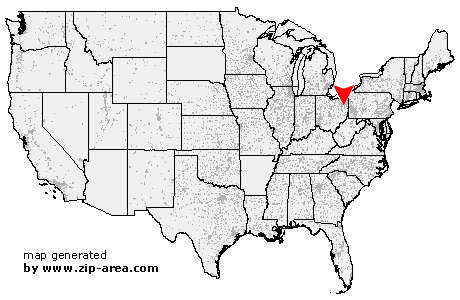
| State: | Ohio |
| County: | Stark |
| Area code: | 330 |
| FIPS code: | 39151 |
| Time zone: | EST |
| ZIP code: | 44670 |
|
calculate distance to another city

|
|
 Using the left mouse click, select the desired location on the map and you will receive a list of cities in the surrounding area. (Embed this map on your website.) |
Add the following HTML-code to your website: <a href="http://www.zip-area.com/ohio/robertsville/" target="_blank"><img src="http://www.zip-area.com/ohio/images/map_robertsville.png" alt="Robertsville"></a> |
Cities close to Robertsville |
|
| Middlebranch (11.40 mi) | Magnolia (9.52 mi) |
| Waynesburg (6.24 mi) | Louisville (7.65 mi) |
| Robertsville (0.00 mi) | Malvern (5.34 mi) |
| Maximo (7.99 mi) | Paris (3.06 mi) |
| Minerva (5.36 mi) | Homeworth (8.85 mi) |