

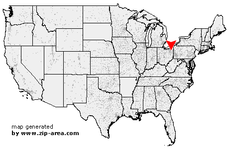
Rootstown
| Category: | City |
| State: | Ohio |
| County: | Portage |
| Area code: | 330 |
| FIPS code: | 39133 |
| Time zone: | EST |
| ZIP code: | 44272 |
|
calculate distance to another city

|
|
 Using the left mouse click, select the desired location on the map and you will receive a list of cities in the surrounding area. (Embed this map on your website.) |
Add the following HTML-code to your website: <a href="http://www.zip-area.com/ohio/rootstown/" target="_blank"><img src="http://www.zip-area.com/ohio/images/map_rootstown.png" alt="Rootstown"></a> |
Cities close to Rootstown |
|
| Kent (8.16 mi) | Mogadore (8.11 mi) |
| Brady Lake (7.84 mi) | Hartville (10.00 mi) |
| Randolph (4.59 mi) | Rootstown (0.00 mi) |
| Atwater (4.25 mi) | Ravenna (6.12 mi) |
| Limaville (7.68 mi) | Wayland (8.34 mi) |