

Sherrodsville
| Category: | City |
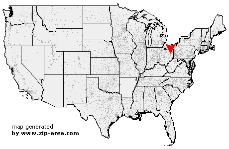
| State: | Ohio |
| County: | Carroll |
| Area code: | 740 |
| FIPS code: | 39019 |
| Time zone: | EST |
| ZIP code: | 44675 |
|
calculate distance to another city

|
|
 Using the left mouse click, select the desired location on the map and you will receive a list of cities in the surrounding area. (Embed this map on your website.) |
Add the following HTML-code to your website: <a href="http://www.zip-area.com/ohio/sherrodsville/" target="_blank"><img src="http://www.zip-area.com/ohio/images/map_sherrodsville.png" alt="Sherrodsville"></a> |
Cities close to Sherrodsville |
|
| Midvale (9.12 mi) | Sandyville (11.67 mi) |
| Somerdale (7.84 mi) | New Philadelphia (6.89 mi) |
| Mineral City (8.01 mi) | Magnolia (10.20 mi) |
| Dennison (6.08 mi) | Uhrichsville (9.82 mi) |
| Sherrodsville (0.00 mi) | Dellroy (5.32 mi) |
| Leesville (4.26 mi) | Bowerston (6.01 mi) |
| Scio (9.96 mi) | |