

Strongsville
| Category: | City |
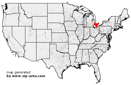
| State: | Ohio |
| County: | Cuyahoga |
| Area code: | 440 |
| FIPS code: | 39035 |
| Time zone: | EST |
| ZIP codes: | 44136, 44149 |
|
calculate distance to another city

|
|
 Using the left mouse click, select the desired location on the map and you will receive a list of cities in the surrounding area. (Embed this map on your website.) |
Add the following HTML-code to your website: <a href="http://www.zip-area.com/ohio/strongsville/" target="_blank"><img src="http://www.zip-area.com/ohio/images/map_strongsville.png" alt="Strongsville"></a> |
Cities close to Strongsville |
|
| Westlake (11.38 mi) | Valley City (7.86 mi) |
| Olmsted Falls (7.10 mi) | North Olmsted (8.97 mi) |
| Berea (4.54 mi) | Brook Park (6.24 mi) |
| Brunswick (5.17 mi) | Strongsville (0.00 mi) |
| North Royalton (3.33 mi) | Hinckley (6.53 mi) |
| Broadview Heights (6.82 mi) | |