

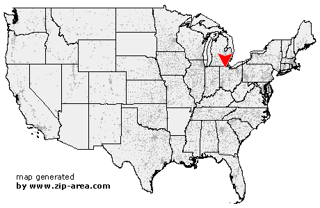
Tontogany
| Category: | City |
| State: | Ohio |
| County: | Wood |
| Area code: | 419 |
| FIPS code: | 39173 |
| Time zone: | EST |
| ZIP code: | 43565 |
|
calculate distance to another city

|
|
 Using the left mouse click, select the desired location on the map and you will receive a list of cities in the surrounding area. (Embed this map on your website.) |
Add the following HTML-code to your website: <a href="http://www.zip-area.com/ohio/tontogany/" target="_blank"><img src="http://www.zip-area.com/ohio/images/map_tontogany.png" alt="Tontogany"></a> |
Cities close to Tontogany |
|
| Neapolis (8.51 mi) | Grand Rapids (5.42 mi) |
| Milton Center (9.52 mi) | Whitehouse (7.65 mi) |
| Weston (5.93 mi) | Waterville (5.38 mi) |
| Tontogany (0.00 mi) | Haskins (3.61 mi) |
| Rudolph (9.69 mi) | Bowling Green (4.54 mi) |
| Portage (9.80 mi) | Dunbridge (7.21 mi) |