

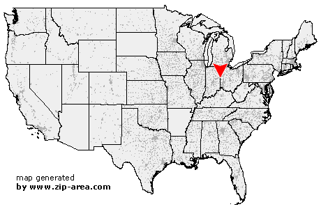
Union City
| Category: | City |
| State: | Ohio |
| County: | Darke |
| Area code: | 937 |
| FIPS code: | 39037 |
| Time zone: | EST |
| ZIP code: | 45390 |
|
calculate distance to another city

|
|
 Using the left mouse click, select the desired location on the map and you will receive a list of cities in the surrounding area. (Embed this map on your website.) |
Add the following HTML-code to your website: <a href="http://www.zip-area.com/ohio/union_city/" target="_blank"><img src="http://www.zip-area.com/ohio/images/map_union_city.png" alt="Union City"></a> |
Cities close to Union City |
|
| Union City (4.58 mi) | Salamonia (10.02 mi) |
| Union City (NaN mi) | Ansonia (5.76 mi) |
| New Weston (9.52 mi) | Greenville (10.65 mi) |
| Burkettsville (11.03 mi) | Rossburg (8.48 mi) |