

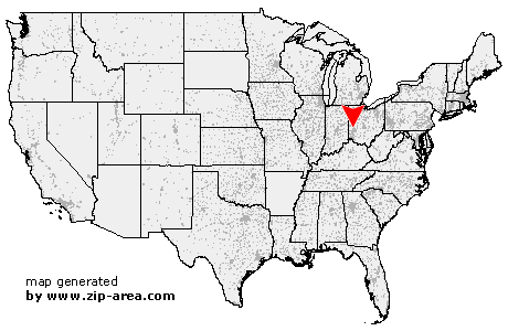
Vandalia
| Category: | City |
| State: | Ohio |
| County: | Montgomery |
| Area code: | 937 |
| FIPS code: | 39113 |
| Time zone: | EST |
| ZIP code: | 45377 |
|
calculate distance to another city

|
|
 Using the left mouse click, select the desired location on the map and you will receive a list of cities in the surrounding area. (Embed this map on your website.) |
Add the following HTML-code to your website: <a href="http://www.zip-area.com/ohio/vandalia/" target="_blank"><img src="http://www.zip-area.com/ohio/images/map_vandalia.png" alt="Vandalia"></a> |
Cities close to Vandalia |
|
| West Milton (8.19 mi) | Ludlow Falls (10.18 mi) |
| Clayton (6.90 mi) | Englewood (5.74 mi) |
| Vandalia (0.00 mi) | Dayton (8.66 mi) |
| Troy (10.64 mi) | Tipp City (6.04 mi) |
| Dayton (11.68 mi) | |