

Walhonding
| Category: | City |
| State: | Ohio |
| County: | Coshocton |
| Area code: | 740 |
| FIPS code: | 39031 |
| Time zone: | EST |
| ZIP code: | 43843 |
|
calculate distance to another city

|
|
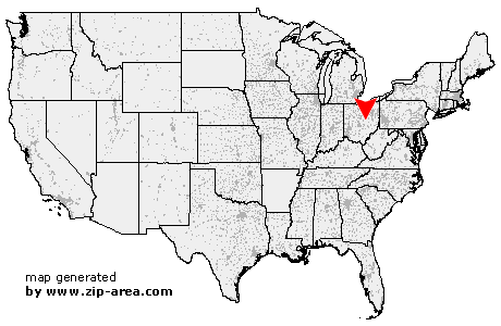 Using the left mouse click, select the desired location on the map and you will receive a list of cities in the surrounding area. (Embed this map on your website.) |
Add the following HTML-code to your website: <a href="http://www.zip-area.com/ohio/walhonding/" target="_blank"><img src="http://www.zip-area.com/ohio/images/map_walhonding.png" alt="Walhonding"></a> |
Cities close to Walhonding |
|
| Howard (8.24 mi) | Bladensburg (6.77 mi) |
| Danville (10.31 mi) | Walhonding (0.00 mi) |
| Brinkhaven (8.44 mi) | Warsaw (6.59 mi) |