

Wellsville
| Category: | City |
| State: | Ohio |
| County: | Columbiana |
| Area code: | 330 |
| FIPS code: | 39029 |
| Time zone: | EST |
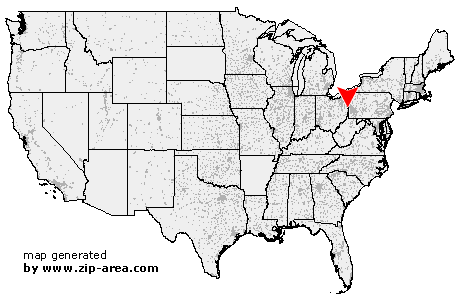
| ZIP code: | 43968 |
|
calculate distance to another city

|
|
 Using the left mouse click, select the desired location on the map and you will receive a list of cities in the surrounding area. (Embed this map on your website.) |
Add the following HTML-code to your website: <a href="http://www.zip-area.com/ohio/wellsville/" target="_blank"><img src="http://www.zip-area.com/ohio/images/map_wellsville.png" alt="Wellsville"></a> |
Cities close to Wellsville |
|
| Salineville (7.52 mi) | Irondale (9.92 mi) |
| Lisbon (8.92 mi) | Hammondsville (4.25 mi) |
| West Point (5.72 mi) | Elkton (9.35 mi) |
| Wellsville (0.00 mi) | Toronto (9.34 mi) |
| Stratton (7.98 mi) | Empire (8.72 mi) |
| Newell (4.46 mi) | New Cumberland (8.68 mi) |
| East Liverpool (6.57 mi) | New Manchester (8.65 mi) |
| Chester (7.73 mi) | Negley (12.08 mi) |