

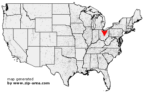
West Rushville
| Category: | City |
| State: | Ohio |
| County: | Fairfield |
| Area code: | 740 |
| FIPS code: | 39045 |
| Time zone: | EST |
| ZIP code: | 43163 |
|
calculate distance to another city

|
|
 Using the left mouse click, select the desired location on the map and you will receive a list of cities in the surrounding area. (Embed this map on your website.) |
Add the following HTML-code to your website: <a href="http://www.zip-area.com/ohio/west_rushville/" target="_blank"><img src="http://www.zip-area.com/ohio/images/map_west_rushville.png" alt="West Rushville"></a> |
Cities close to West Rushville |
|
| Millersport (10.44 mi) | Thurston (7.29 mi) |
| Sugar Grove (10.72 mi) | Pleasantville (4.80 mi) |
| West Rushville (0.00 mi) | Rushville (2.32 mi) |
| Bremen (5.67 mi) | Thornville (9.48 mi) |
| Junction City (8.64 mi) | |