

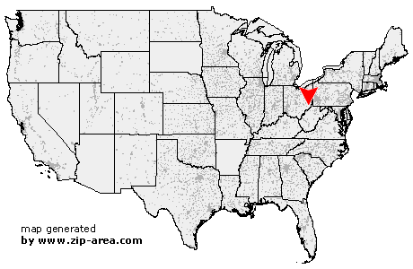
Woodsfield
| Category: | City |
| State: | Ohio |
| County: | Monroe |
| Area code: | 740 |
| FIPS code: | 39111 |
| Time zone: | EST |
| ZIP code: | 43793 |
|
calculate distance to another city

|
|
 Using the left mouse click, select the desired location on the map and you will receive a list of cities in the surrounding area. (Embed this map on your website.) |
Add the following HTML-code to your website: <a href="http://www.zip-area.com/ohio/woodsfield/" target="_blank"><img src="http://www.zip-area.com/ohio/images/map_woodsfield.png" alt="Woodsfield"></a> |
Cities close to Woodsfield |
|
| Lewisville (7.90 mi) | Graysville (10.79 mi) |
| Malaga (8.82 mi) | Jerusalem (8.58 mi) |
| Woodsfield (0.00 mi) | Laings (4.74 mi) |
| Beallsville (8.79 mi) | Sardis (9.12 mi) |