

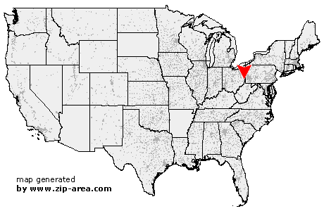
Yorkville
| Category: | City |
| State: | Ohio |
| County: | Jefferson |
| Area code: | 740 |
| FIPS code: | 39081 |
| Time zone: | EST |
| ZIP code: | 43971 |
|
calculate distance to another city

|
|
 Using the left mouse click, select the desired location on the map and you will receive a list of cities in the surrounding area. (Embed this map on your website.) |
Add the following HTML-code to your website: <a href="http://www.zip-area.com/ohio/yorkville/" target="_blank"><img src="http://www.zip-area.com/ohio/images/map_yorkville.png" alt="Yorkville"></a> |
Cities close to Yorkville |
|
| Barton (7.83 mi) | Piney Fork (9.46 mi) |
| Neffs (11.30 mi) | Dillonvale (6.57 mi) |
| Blaine (8.84 mi) | Colerain (5.77 mi) |
| Mount Pleasant (4.41 mi) | Bridgeport (7.10 mi) |
| Lansing (7.46 mi) | Smithfield (7.63 mi) |
| Martins Ferry (3.54 mi) | Rayland (3.74 mi) |
| Yorkville (0.00 mi) | Tiltonsville (0.99 mi) |
| Short Creek (2.44 mi) | Windsor Heights (3.04 mi) |
| Wheeling (7.41 mi) | Beech Bottom (5.21 mi) |
| Brilliant (7.87 mi) | Mingo Junction (10.36 mi) |
| Triadelphia (7.61 mi) | West Liberty (6.25 mi) |
| Wellsburg (8.25 mi) | |