

Elco
| Category: | City |
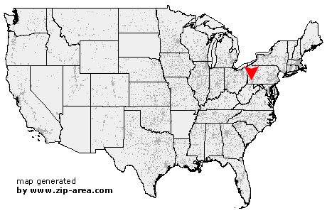
| State: | Pennsylvania |
| County: | Washington |
| Area code: | 724 |
| FIPS code: | 42125 |
| Time zone: | EST |
| ZIP code: | 15434 |
|
calculate distance to another city

|
|
 Using the left mouse click, select the desired location on the map and you will receive a list of cities in the surrounding area. (Embed this map on your website.) |
Add the following HTML-code to your website: <a href="http://www.zip-area.com/pennsylvania/elco/" target="_blank"><img src="http://www.zip-area.com/pennsylvania/images/map_elco.png" alt="Elco"></a> |
Cities close to Elco |
|
| Clarksville (9.62 mi) | Ellsworth (7.59 mi) |
| Bentleyville (6.95 mi) | Millsboro (8.86 mi) |
| Richeyville (6.23 mi) | East Millsboro (8.79 mi) |
| Vestaburg (7.31 mi) | Rices Landing (10.90 mi) |
| Daisytown (5.17 mi) | Van Voorhis (7.11 mi) |
| Crucible (10.21 mi) | Brownsville (5.11 mi) |
| New Eagle (9.37 mi) | La Belle (8.76 mi) |
| Charleroi (5.31 mi) | Isabella (9.96 mi) |
| Monongahela (7.66 mi) | Denbo (5.47 mi) |
| California (1.93 mi) | Republic (8.68 mi) |
| Hiller (5.07 mi) | Newell (0.98 mi) |
| Monessen (4.79 mi) | Elco (0.00 mi) |
| Coal Center (1.15 mi) | Allison (6.08 mi) |
| Cardale (8.67 mi) | Merrittstown (8.19 mi) |
| Roscoe (0.91 mi) | Donora (6.74 mi) |
| Allenport (1.53 mi) | Pricedale (4.27 mi) |
| Stockdale (1.59 mi) | Dunlevy (2.52 mi) |
| Fairbank (9.72 mi) | Webster (7.35 mi) |
| Grindstone (5.22 mi) | Fayette City (2.86 mi) |
| Brier Hill (7.53 mi) | Belle Vernon (6.18 mi) |
| Chestnut Ridge (8.05 mi) | New Salem (10.25 mi) |
| Keisterville (9.82 mi) | Waltersburg (8.54 mi) |
| Wickhaven (6.41 mi) | Smock (8.88 mi) |
| Star Junction (6.69 mi) | Perryopolis (6.85 mi) |
| Jacobs Creek (8.22 mi) | |