

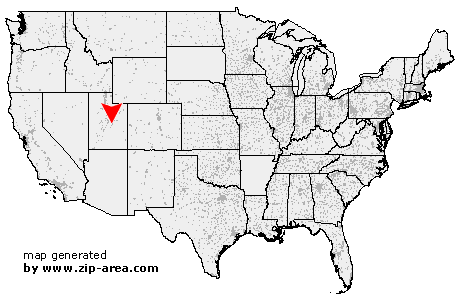
Castle Dale
| Category: | City |
| State: | Utah |
| County: | Emery |
| Area code: | 435 |
| FIPS code: | 49015 |
| Time zone: | MST |
| ZIP code: | 84513 |
|
calculate distance to another city

|
|
 Using the left mouse click, select the desired location on the map and you will receive a list of cities in the surrounding area. (Embed this map on your website.) |
Add the following HTML-code to your website: <a href="http://www.zip-area.com/utah/castle_dale/" target="_blank"><img src="http://www.zip-area.com/utah/images/map_castle_dale.png" alt="Castle Dale"></a> |
Cities close to Castle Dale |
|
| Clawson (7.28 mi) | Orangeville (1.81 mi) |
| Castle Dale (0.00 mi) | Huntington (9.84 mi) |