

Lawndale
| Category: | City |
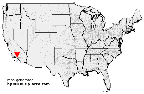
| State: | California |
| County: | Los Angeles |
| Area code: | 310 |
| FIPS code: | 06037 |
| Time zone: | PST |
| ZIP codes: | 90260, 90261 |
|
calculate distance to another city

|
|
 Using the left mouse click, select the desired location on the map and you will receive a list of cities in the surrounding area. (Embed this map on your website.) |
Add the following HTML-code to your website: <a href="http://www.zip-area.com/california/lawndale/" target="_blank"><img src="http://www.zip-area.com/california/images/map_lawndale.png" alt="Lawndale"></a> |
Cities close to Lawndale |
|
| Santa Monica (11.96 mi) | Venice (9.73 mi) |
| Marina del Rey (8.35 mi) | Playa del Rey (6.57 mi) |
| El Segundo (3.67 mi) | Culver City (7.44 mi) |
| Manhattan Beach (2.64 mi) | Hermosa Beach (3.05 mi) |
| Redondo Beach (4.43 mi) | Palos Verdes Peninsula (7.75 mi) |
| Rancho Palos Verdes (9.23 mi) | Inglewood (4.70 mi) |
| Lawndale (0.00 mi) | Hawthorne (1.79 mi) |
| Lomita (6.85 mi) | Torrance (4.38 mi) |
| Harbor City (6.89 mi) | Gardena (3.10 mi) |
| Carson (6.61 mi) | Wilmington (8.87 mi) |
| Los Angeles (8.28 mi) | Compton (6.57 mi) |
| Huntington Park (9.82 mi) | |