

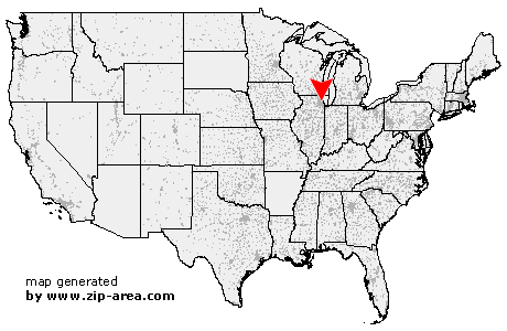
AMF O'Hare
| Category: | City |
| State: | Illinois |
| County: | Cook |
| Area code: | 773 |
| FIPS code: | 17031 |
| Time zone: | CST |
| ZIP code: | 60666 |
|
calculate distance to another city

|
|
 Using the left mouse click, select the desired location on the map and you will receive a list of cities in the surrounding area. (Embed this map on your website.) |
Add the following HTML-code to your website: <a href="http://www.zip-area.com/illinois/amf_o%27hare/" target="_blank"><img src="http://www.zip-area.com/illinois/images/map_amf_o%27hare.png" alt="AMF O'Hare"></a> |
Cities close to AMF O'Hare |
|
| Medinah (6.88 mi) | Rolling Meadows (8.66 mi) |
| Itasca (5.43 mi) | Lombard (8.74 mi) |
| Palatine (9.92 mi) | Addison (5.84 mi) |
| Elk Grove Village (5.10 mi) | Wood Dale (3.56 mi) |
| Arlington Heights (10.13 mi) | Villa Park (7.17 mi) |
| Bensenville (2.00 mi) | Elmhurst (5.73 mi) |
| Mount Prospect (6.46 mi) | Prospect Heights (8.92 mi) |
| AMF O'Hare (0.00 mi) | Berkeley (5.96 mi) |
| Hillside (7.21 mi) | Des Plaines (5.29 mi) |
| Westchester (8.53 mi) | Franklin Park (2.93 mi) |
| Stone Park (5.18 mi) | Bellwood (6.59 mi) |
| La Grange Park (9.94 mi) | Schiller Park (2.54 mi) |
| Franklin Park (3.73 mi) | Melrose Park (5.57 mi) |
| Broadview (8.64 mi) | Maywood (8.08 mi) |
| Park Ridge (4.43 mi) | River Grove (5.11 mi) |
| Hines (8.88 mi) | Techny (10.28 mi) |
| Glenview (8.51 mi) | Riverside (10.58 mi) |
| River Forest (7.27 mi) | Forest Park (8.92 mi) |
| Niles (6.38 mi) | Elmwood Park (6.53 mi) |
| Oak Park (8.28 mi) | Golf (8.47 mi) |
| Morton Grove (7.91 mi) | Berwyn (11.75 mi) |
| Harwood Heights (6.87 mi) | |