

Waterloo
| Category: | City |
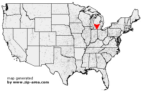
| State: | Indiana |
| County: | De Kalb |
| Area code: | 260 |
| FIPS code: | 18033 |
| Time zone: | EST |
| ZIP code: | 46793 |
|
calculate distance to another city

|
|
 Using the left mouse click, select the desired location on the map and you will receive a list of cities in the surrounding area. (Embed this map on your website.) |
Add the following HTML-code to your website: <a href="http://www.zip-area.com/indiana/waterloo/" target="_blank"><img src="http://www.zip-area.com/indiana/images/map_waterloo.png" alt="Waterloo"></a> |
Cities close to Waterloo |
|
| Corunna (6.93 mi) | Garrett (11.33 mi) |
| Hudson (9.33 mi) | Ashley (5.11 mi) |
| Auburn (8.40 mi) | Pleasant Lake (8.71 mi) |
| Waterloo (0.00 mi) | Hamilton (9.57 mi) |
| Saint Joe (12.25 mi) | Butler (7.74 mi) |