

Closplint
| Category: | City |
| State: | Kentucky |
| County: | Harlan |
| Area code: | 606 |
| FIPS code: | 21095 |
| Time zone: | EST |
| ZIP code: | 40927 |
|
calculate distance to another city

|
|
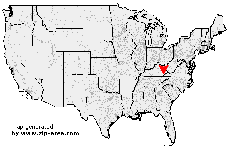 Using the left mouse click, select the desired location on the map and you will receive a list of cities in the surrounding area. (Embed this map on your website.) |
Add the following HTML-code to your website: <a href="http://www.zip-area.com/kentucky/closplint/" target="_blank"><img src="http://www.zip-area.com/kentucky/images/map_closplint.png" alt="Closplint"></a> |
Cities close to Closplint |
|
| Yeaddiss (12.27 mi) | Totz (7.93 mi) |
| Big Laurel (8.24 mi) | Lejunior (4.46 mi) |
| Kenvir (8.70 mi) | Evarts (5.40 mi) |
| Delphia (8.41 mi) | Closplint (0.00 mi) |
| Gordon (6.57 mi) | Saint Charles (4.77 mi) |
| Pennington Gap (10.28 mi) | Cumberland (7.04 mi) |
| Keokee (8.01 mi) | Holmes Mill (6.58 mi) |