

Huddy
| Category: | City |
| State: | Kentucky |
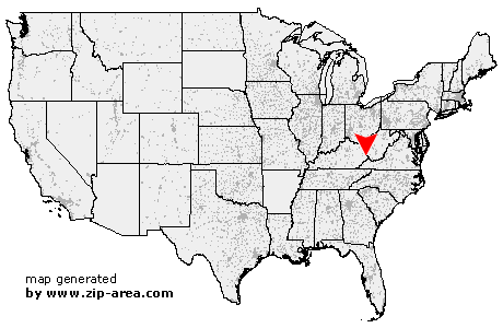
| County: | Pike |
| Area code: | 606 |
| FIPS code: | 21195 |
| Time zone: | EST |
| ZIP code: | 41535 |
|
calculate distance to another city

|
|
 Using the left mouse click, select the desired location on the map and you will receive a list of cities in the surrounding area. (Embed this map on your website.) |
Add the following HTML-code to your website: <a href="http://www.zip-area.com/kentucky/huddy/" target="_blank"><img src="http://www.zip-area.com/kentucky/images/map_huddy.png" alt="Huddy"></a> |
Cities close to Huddy |
|
| Varney (10.97 mi) | Sidney (5.54 mi) |
| Canada (6.08 mi) | Kimper (5.19 mi) |
| Forest Hills (5.89 mi) | Phyllis (8.37 mi) |
| South Williamson (7.09 mi) | Chattaroy (9.82 mi) |
| Stone (0.89 mi) | Mc Andrews (0.71 mi) |
| Huddy (0.00 mi) | Belfry (4.82 mi) |
| Hardy (2.86 mi) | Rawl (6.44 mi) |
| Fedscreek (10.08 mi) | Pinsonfork (3.80 mi) |
| Ransom (4.87 mi) | Mc Carr (6.23 mi) |
| Phelps (7.97 mi) | North Matewan (7.62 mi) |
| Edgarton (6.59 mi) | Red Jacket (8.91 mi) |
| Freeburn (6.88 mi) | Matewan (9.34 mi) |
| Ragland (12.15 mi) | Vulcan (7.44 mi) |
| Varney (10.61 mi) | |