

Roseville
| Category: | City |
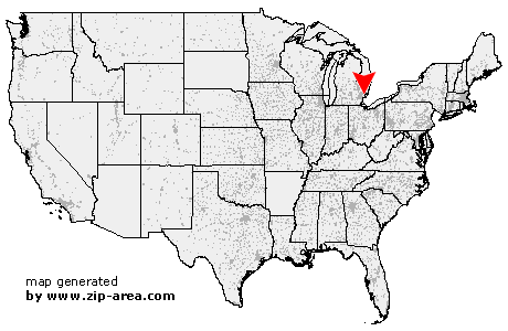
| State: | Michigan |
| County: | Macomb |
| Area code: | 586 |
| FIPS code: | 26099 |
| Time zone: | EST |
| ZIP code: | 48066 |
|
calculate distance to another city

|
|
 Using the left mouse click, select the desired location on the map and you will receive a list of cities in the surrounding area. (Embed this map on your website.) |
Add the following HTML-code to your website: <a href="http://www.zip-area.com/michigan/roseville/" target="_blank"><img src="http://www.zip-area.com/michigan/images/map_roseville.png" alt="Roseville"></a> |
Cities close to Roseville |
|
| Sterling Heights (7.66 mi) | Hamtramck (9.07 mi) |
| Center Line (4.97 mi) | Warren (2.41 mi) |
| Fraser (2.25 mi) | Eastpointe (2.91 mi) |
| Roseville (0.00 mi) | Harper Woods (4.74 mi) |
| Grosse Pointe (8.60 mi) | Saint Clair Shores (3.56 mi) |
| Clinton Township (4.03 mi) | Mount Clemens (6.83 mi) |
| Harrison Township (7.36 mi) | |