

Wyandotte
| Category: | City |
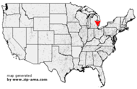
| State: | Michigan |
| County: | Wayne |
| Area code: | 734 |
| FIPS code: | 26163 |
| Time zone: | EST |
| ZIP code: | 48192 |
|
calculate distance to another city

|
|
 Using the left mouse click, select the desired location on the map and you will receive a list of cities in the surrounding area. (Embed this map on your website.) |
Add the following HTML-code to your website: <a href="http://www.zip-area.com/michigan/wyandotte/" target="_blank"><img src="http://www.zip-area.com/michigan/images/map_wyandotte.png" alt="Wyandotte"></a> |
Cities close to Wyandotte |
|
| Inkster (9.64 mi) | Flat Rock (7.84 mi) |
| Taylor (4.76 mi) | Dearborn Heights (7.04 mi) |
| Trenton (4.02 mi) | Rockwood (8.11 mi) |
| Allen Park (4.67 mi) | Southgate (1.42 mi) |
| Wyandotte (0.00 mi) | Lincoln Park (3.80 mi) |
| Melvindale (6.43 mi) | Dearborn (8.15 mi) |
| Grosse Ile (4.01 mi) | Ecorse (4.79 mi) |
| River Rouge (6.30 mi) | |