

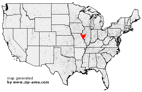
Chesterfield
| Category: | City |
| State: | Missouri |
| County: | Saint Louis |
| Area code: | 636 |
| FIPS code: | 29189 |
| Time zone: | CST |
| ZIP codes: | 63005, 63006, 63017 |
|
calculate distance to another city

|
|
 Using the left mouse click, select the desired location on the map and you will receive a list of cities in the surrounding area. (Embed this map on your website.) |
Add the following HTML-code to your website: <a href="http://www.zip-area.com/missouri/chesterfield/" target="_blank"><img src="http://www.zip-area.com/missouri/images/map_chesterfield.png" alt="Chesterfield"></a> |
Cities close to Chesterfield |
|
| Saint Albans (7.60 mi) | Pacific (10.02 mi) |
| Allenton (9.57 mi) | Glencoe (4.45 mi) |
| Cottleville (7.33 mi) | Eureka (9.15 mi) |
| Chesterfield (0.00 mi) | Grover (5.00 mi) |
| Ballwin (5.52 mi) | Valley Park (9.30 mi) |