

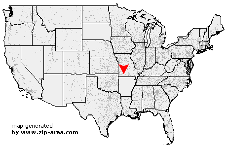
Chestnutridge
| Category: | City |
| State: | Missouri |
| County: | Christian |
| Area code: | 417 |
| FIPS code: | 29043 |
| Time zone: | CST |
| ZIP code: | 65630 |
|
calculate distance to another city

|
|
 Using the left mouse click, select the desired location on the map and you will receive a list of cities in the surrounding area. (Embed this map on your website.) |
Add the following HTML-code to your website: <a href="http://www.zip-area.com/missouri/chestnutridge/" target="_blank"><img src="http://www.zip-area.com/missouri/images/map_chestnutridge.png" alt="Chestnutridge"></a> |
Cities close to Chestnutridge |
|
| Highlandville (9.69 mi) | Walnut Shade (7.63 mi) |
| Ozark (10.34 mi) | Rockaway Beach (10.21 mi) |
| Sparta (6.42 mi) | Chestnutridge (0.00 mi) |
| Forsyth (7.36 mi) | Chadwick (6.27 mi) |
| Oldfield (9.23 mi) | Taneyville (9.67 mi) |
| Garrison (7.38 mi) | |