

Lone Jack
| Category: | City |
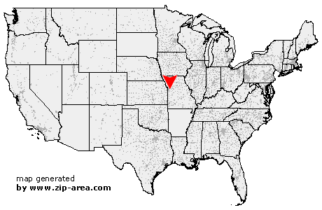
| State: | Missouri |
| County: | Jackson |
| Area code: | 816 |
| FIPS code: | 29095 |
| Time zone: | CST |
| ZIP code: | 64070 |
|
calculate distance to another city

|
|
 Using the left mouse click, select the desired location on the map and you will receive a list of cities in the surrounding area. (Embed this map on your website.) |
Add the following HTML-code to your website: <a href="http://www.zip-area.com/missouri/lone_jack/" target="_blank"><img src="http://www.zip-area.com/missouri/images/map_lone_jack.png" alt="Lone Jack"></a> |
Cities close to Lone Jack |
|
| Lees Summit (7.23 mi) | Blue Springs (10.54 mi) |
| Grain Valley (7.63 mi) | Pleasant Hill (8.99 mi) |
| Strasburg (9.31 mi) | Lone Jack (0.00 mi) |
| Oak Grove (8.42 mi) | Bates City (11.08 mi) |
| Kingsville (8.37 mi) | |