

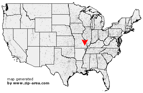
Lowndes
| Category: | City |
| State: | Missouri |
| County: | Wayne |
| Area code: | 573 |
| FIPS code: | 29223 |
| Time zone: | CST |
| ZIP code: | 63951 |
|
calculate distance to another city

|
|
 Using the left mouse click, select the desired location on the map and you will receive a list of cities in the surrounding area. (Embed this map on your website.) |
Add the following HTML-code to your website: <a href="http://www.zip-area.com/missouri/lowndes/" target="_blank"><img src="http://www.zip-area.com/missouri/images/map_lowndes.png" alt="Lowndes"></a> |
Cities close to Lowndes |
|
| Clubb (7.81 mi) | Shook (5.42 mi) |
| Wappapello (9.21 mi) | Lowndes (0.00 mi) |
| Gipsy (3.06 mi) | Mc Gee (5.16 mi) |